Lesa's South America Images
|
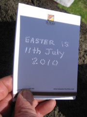
This feast of images is a pictorial review of our three-week trip in June/July 2010. The trip included astronomical sites in Peru and the total solar eclipse on Easter Island, 11th July 2010.
The page may take up to 10 seconds to load all the thumbnail images. Simply scroll down or use the links to explore. Change the zoom level on your browser to see the thumbnails more easily, or click on a thumbnail image to see the full-resolution image. Full-resolution images are typically between 1Mb and 3Mb in size, and each may take a few moments to download. Many thanks to:
|
|
First view and sculpture park VARIOUS LOCATIONS IN PERU Lima - traffic and coastline Paramonga ancient fortress north of Lima Chanquillo ancient fortress and solar calendar, south of Casma Casma to Lima Sacred Valley - modern settlements in an ancient setting Ollantaytambo, an Inka city in the Sacred Valley Machu Picchu - spectacular Inka city perched on steep slopes Cuzco - an amazing blend of Inka and contemporary architecture The Andean Explorer - a train ride across the High Plain Lake Titicaca - floating islands - and surrounds Juliaca to Lima, Larco Museum and Huaca Pucllana SANTIAGO, CHILE Pre-Columbian Museum, trip to ski fields EASTER ISLAND, CHILE - RAPANUI Easter Island - Moai, petroglyphs and other sights The Total Solar Eclipse SANTIAGO, CHILE Spectacular modern architecture, the zoo and city views |
| Thursday, 24 June 2010 ... Santiago, Chile ... Return to top | |
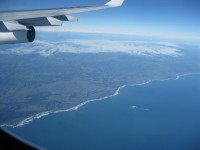
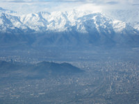
| Flight from Sydney to Santiago with technical stop in Auckland, departing
10am, arriving midday.
Pictured: our first view of the Chilean coast; Santiago from the air. |
|
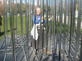
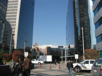
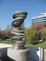
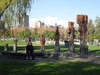
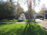
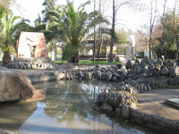
| In Santiago for 4-hour stop between flights (bus to and from airport).
We visited the sculpture park by the river that runs through the centre of the city. |
|
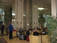
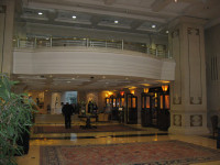
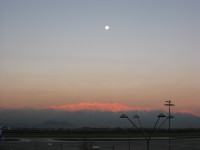
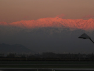
| Intercontinental Hotel - for our short stop in Santiago, then a sunset departure for a flight to Lima, arriving around midnight. |
|
| Friday, 25 June 2010 ... Lima to Casma, Peru ... Return to top | |
| Coach trip from Lima to Casma.
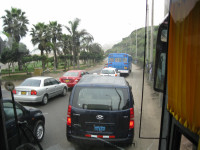
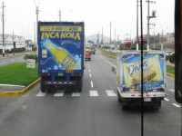
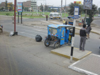
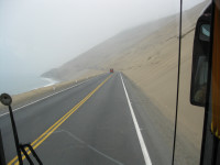
There are no road rules in Peru! Inka Kola is a popular local drink. Scenery features giant sand dunes, sea mist and coastal desert. |
|
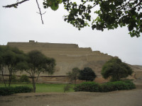
| The ancient Paramonga fortress made from mud brick. When seen from the air, the fortress takes the shape of a llama. The fortress is thought to have been built by the Chimu who dominated much of coastal Peru after the Moche but before the Inka conquest. |
|
| Our private tour of Chanquillo ancient fortress and
solar calendar, between Lima and Casma.
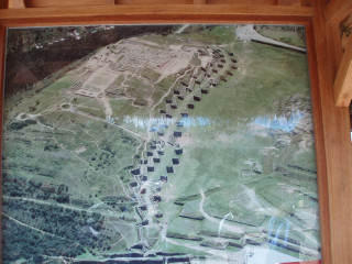
The fortress is made from stone. Some doorways and well-formed walls remain amongst the ruins. The solar calendar is a series of thirteen stone towers along a ridge, believed to have been built as early as the 4th century BCE. From certain "observatory" sites to the east and west of the ridge (shown in the diagram from Cuzco Planetarium), the alignment of the rising/setting sun with an edge of a tower signifies a certain time of year. Alignments with the outer edges of the end towers correspond with the summer and winter solstices. The entire historic site is far larger that the portions that we saw, and lies along an ancient road, seen in the last image. |
Some views of the Chanquillo fortress: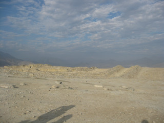
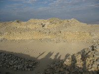
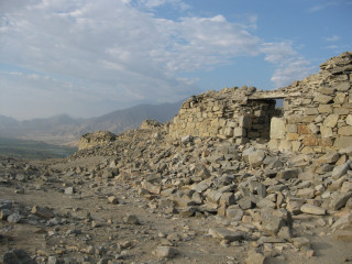
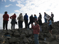
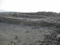
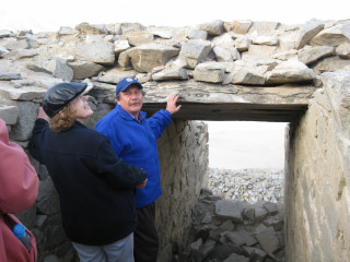
Some views of the solar calendar: 
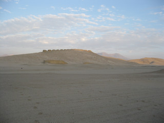
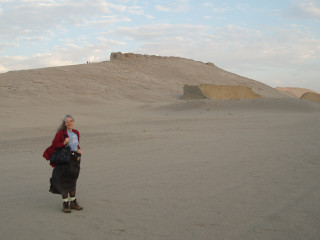
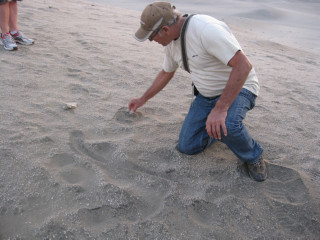
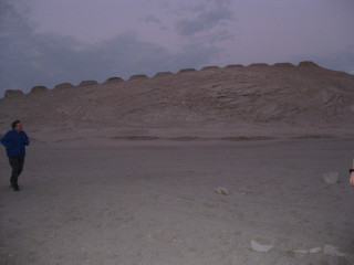 Diagram, observatory square and ancient road at dusk. 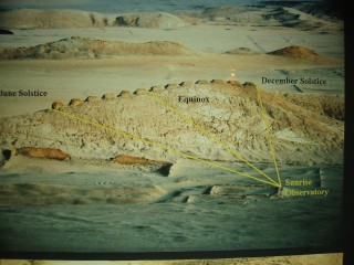
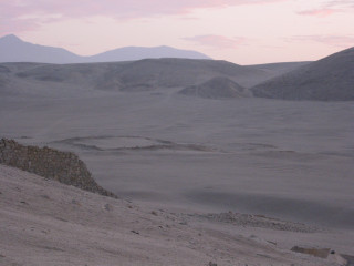
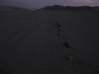
|
| Saturday, 26 June 2010 ... Casma to Lima, Peru ... Return to top | |
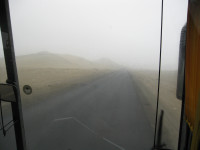
| Return by coach from Casma to Lima. More mist and a view of the Hare Krishna temple. |
|
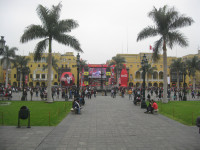
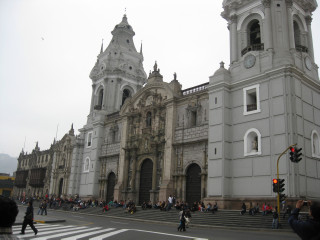
| Lima City Tour, with the World Cup football playing in the square. South Americans are mad about their football! |
|
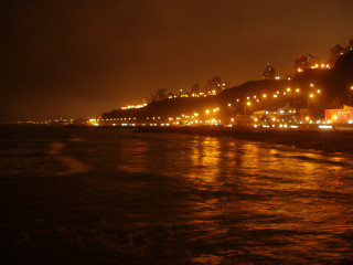
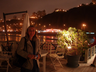
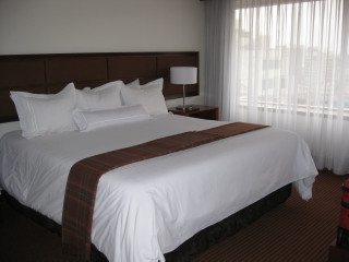
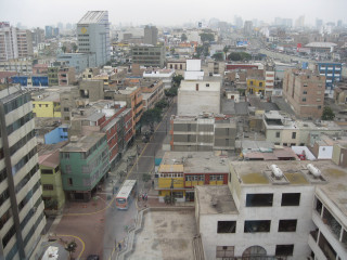
| Highlight dinner at La Rosa Nautica on the jetty at Lima, and views of and from our hotel in Lima: Casa Andina Miraflores. |
|
| Sunday 27th June 2010 ... Sacred Valley, Peru ... Return to top | |
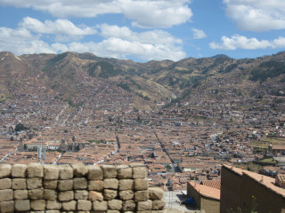
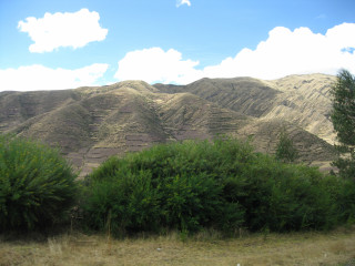
| After a short flight from Lima to Cuzco (altitude about 3,400 m), we travelled by
coach from Cuzco down into the Sacred Valley. There are more than 2000 Inka terraces in Sacred Valley, many visible from the roadways and railway line. |
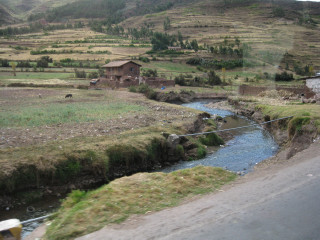
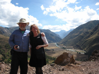
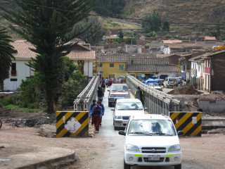
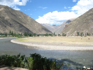
|
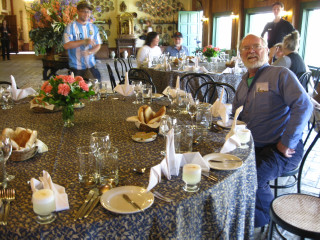
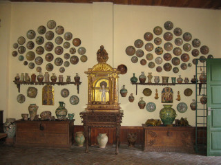
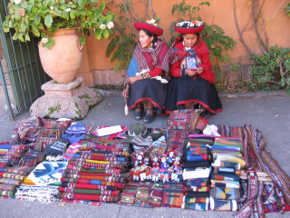
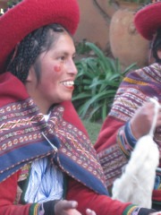
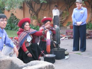
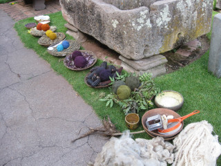
| Highlight lunch at Hacienda Huayoccari with weaving demonstration. The dyes are made from natural and household materials. |
|
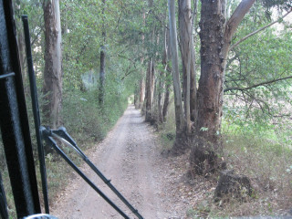
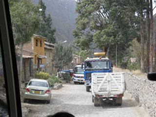
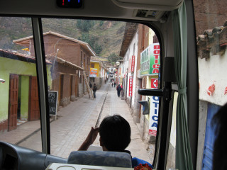
| Driving through Sacred Valley, Urubamba.
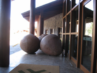
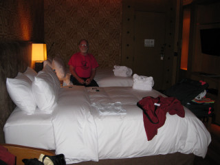
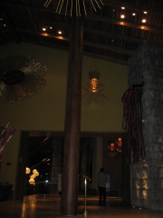
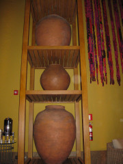
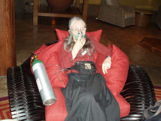
There are plantings of Tasmanian Bluegum - prized for its timber (used for railway sleepers), and for being fast-growing and hardy. Over time, however, it is spreading and changing the landscape, robbing the farmland of water and nutrients. Also, some views of our hotel, Libertador Urubamba Tambo Del Inka, and the treatment for those suffering ill-effects from the altitude. |
|
| Monday, 28th June 2010 ... The school, the village and Ollantaytambo Inka City ... Return to top | |
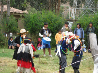
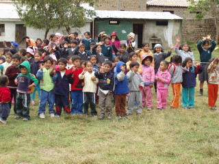
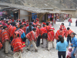
| The school welcomes visitors with a traditional performance. In the village, a group is seen wearing traditional costume. |
|
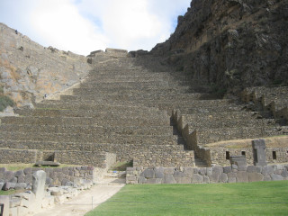
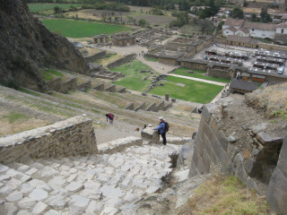
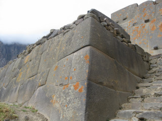
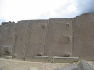
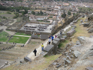
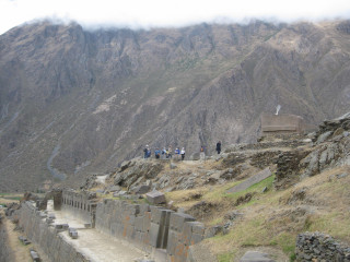
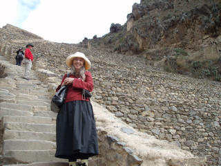
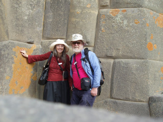
| Ollantaytambo, at and altitude of 2,792 meters, is an Inka temple with closely-
jointed massive stones. The city dates from the 15th century, when Emperor Pachacuti, who
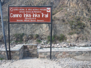
conquered the region, built the town and a ceremonial centre. This location marks the beginning of the Inka Trail for those wishing to walk amongst the mountains, alongside the Urubamba River, to Machu Picchu. |
|
| Tuesday 29th & Wednesday 30th June 2010 ... The Vistadome Train, Aguas Calientes and Machu Picchu ... Return to top | |
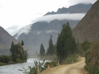
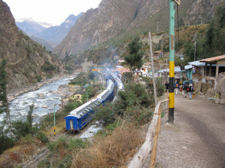
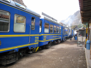
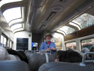
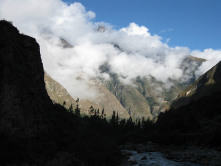
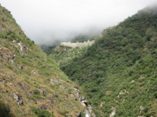
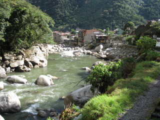
| The Vistadome Train took us from the 82 km marker, just outside Ollantaytambo, along
Sacred Valley to the township of Aguas Calientes (meaning "hot springs"), in
the bottom of the valley below Machu Picchu. This settlement is also known as Machupicchu
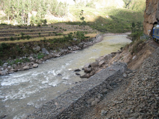
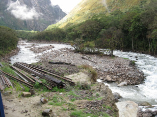
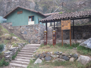
Pueblo. The train normally runs all the way from Cuzco, but the recent floods had destroyed much of the train line. Markers at various points (e.g. this one by the green building states altitude 2496 m) confirm that the river is flowing in the correct direction (i.e. downhill). |
|
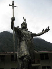
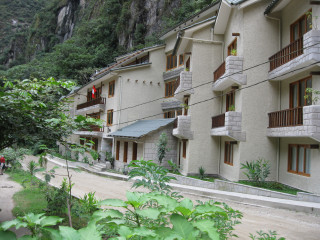
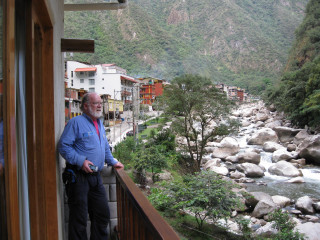
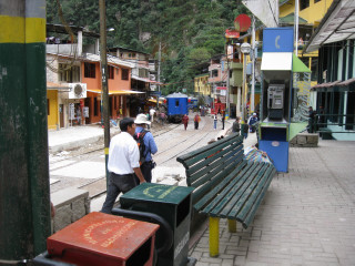
| In Aguas Calientes is a statue to the great Pachacutec ("he who shakes the Earth"), who expanded the Inka empire from the valley of Cuzco to much of South America. Also a couple of shots of our accommodation at Sumaq Machu Picchu, and the township nestled up to the railway line. |
|
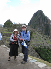
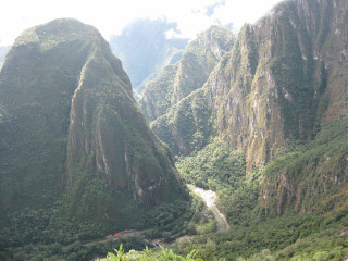
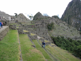
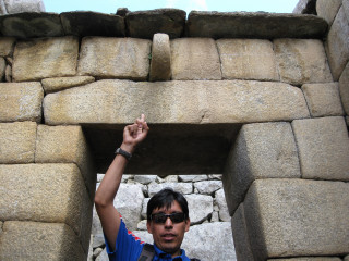
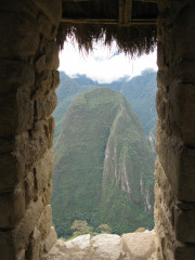
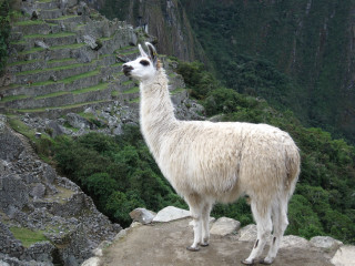
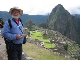
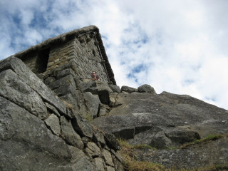
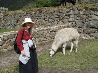
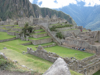
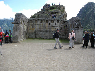
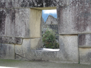
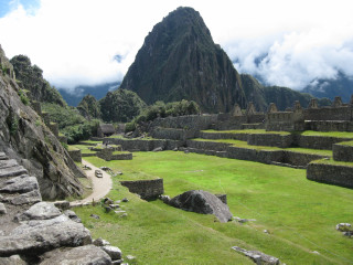
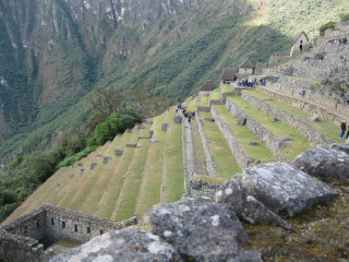
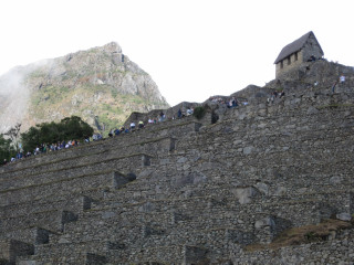
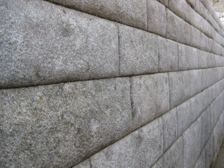
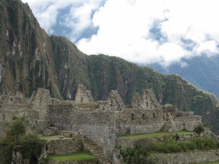
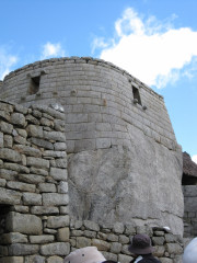
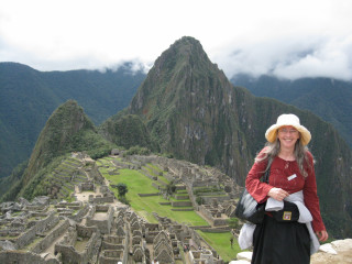
| Scenes of Machu Picchu - simply breathtaking. While llamas browse the granite terraces, the
modern community is continuing to recover more of the ancient city from the overgrowth,
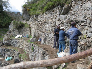
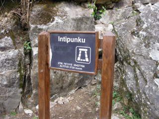
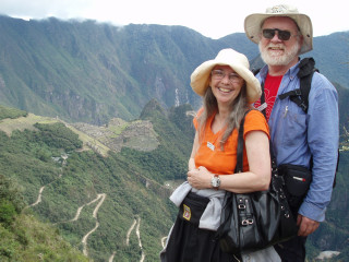
patching, rebuilding and restoring as they go. The ancient city is accessible by bus from Aguas Calientes, or the energetic may prefer to walk (for several days) along the Inka Trail, catching a first glimpse of Machu Picchu from Intipunku. This is a gateway built into a natural saddle in the mountaintops. Some reconstruction work is currently under way on the terraces just below Intipunku. From this vantage point, the multi-hairpin road may be seen zigzagging down the steep hillside. |

|
| Thursday 1st July 2010 ... Cuzco city, the Fortress of Saqsayhuaman, the Cuzco Planetarium and the Inka Wall night spot... Return to top | |
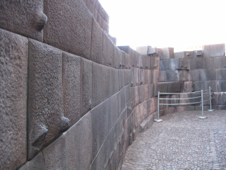
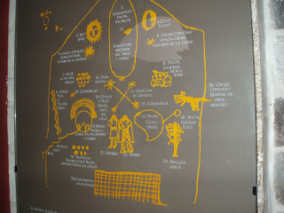
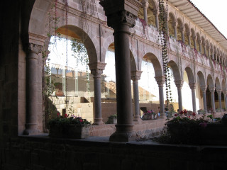
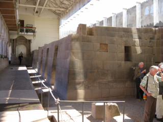
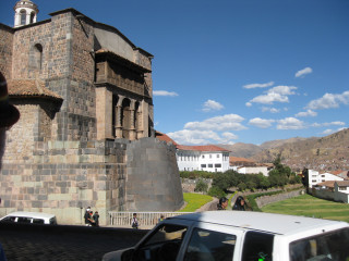
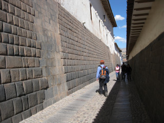
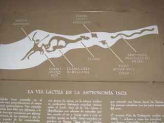
| Cuzco is an amazing city, where new buildings have been grafted onto remnants of Inka stonework. In the Imperial style of Inka architecture, the stones have neat surface joins and no mortar. They lock together with concealed lugs and sockets. In the first image, evidence of the 1951 earthquake is visible. In the street scene with arches and the motor car, see if you can spot the McDonald's! An illustration of the night sky is accompanied by a diagram labelling the features important to the Inka - the black "constellations" marked by the dust lanes in the Milky Way. Three handy bits of trivia in Cuzco: the Inka were the leaders of the Quechua people; Qoricancha means sun or gold, depending on who you talk to and what you read; Cusqueña is the local beer! |
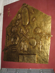
Qoricancha, a site of Inka religious worship and now the Convent and Church of Santo Domingo, houses a replica of a huge Inka gold plaque with astronomical and religious significance: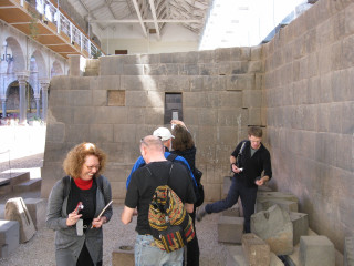

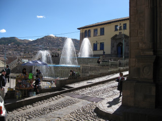
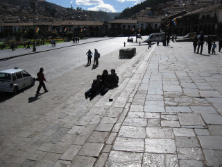
 Street scenes around the Plaza de Armas: 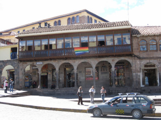
 Some Inka constellations: 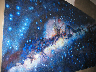
|
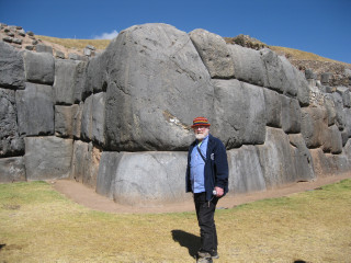
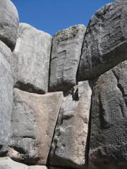
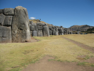
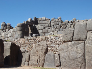
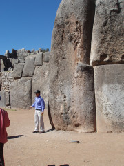
| The Fortress of Saqsayhuaman (referred to by the locals as "sexy woman"), above Cuzco, boasts huge jointed limestone boulders. Here, the annual "Sun Festival" re-enacts an old Inka ritual. The zigzag outline of the boulder walls represents lightning (and thunder). |
|
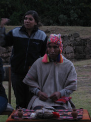
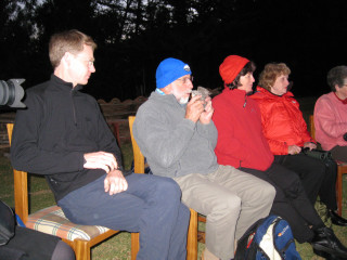
| The Cuzco Planetarium is perched on the hill between the city and Saqsayhuaman. On our tour, we were privileged to be able to take part in a "Thanks to the Earth" ceremony. The planetarium affords views of the southern night sky, along with the folk lore of the Quechua. |
|
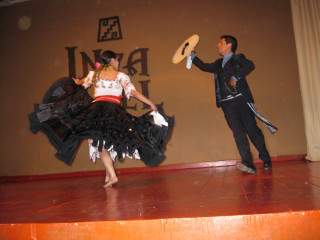
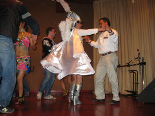
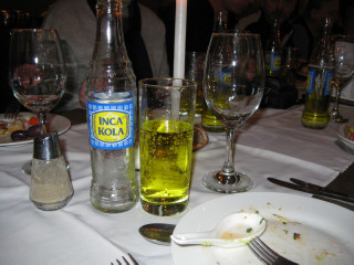
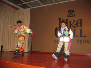
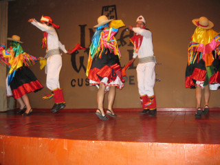
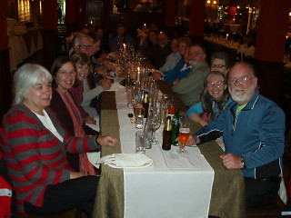
| A night out at the Inka Wall. Inka Cola tastes like "Creaming Soda", looks like "Passiona" and contains caffeine (like that other cola drink)! |
|
| Friday 2nd July 2010 ... The Andean Explorer ... Return to top | |
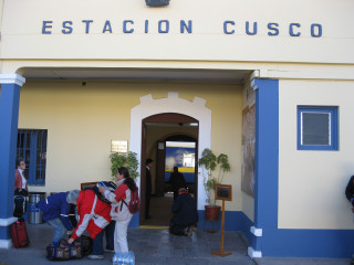
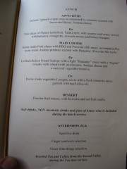
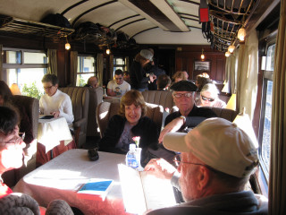
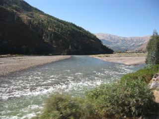
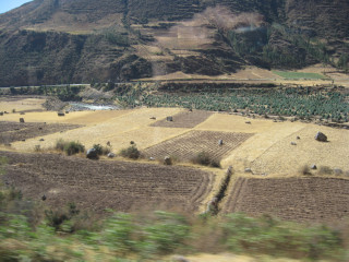
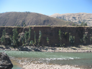
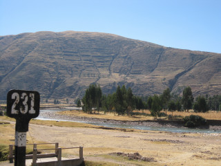
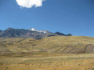
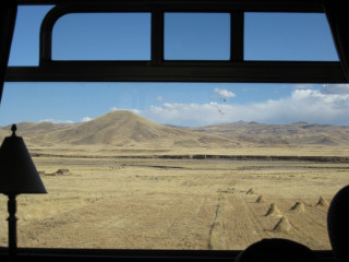
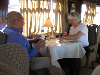
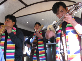
| This wonderful train ride took us from Cuzco to Puno, complete with meals and entertainment.
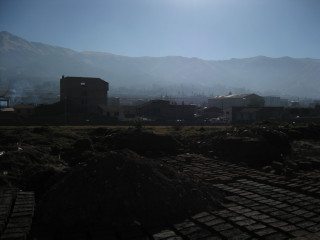
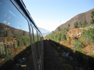
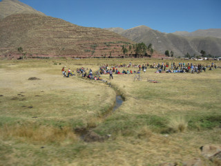
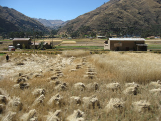
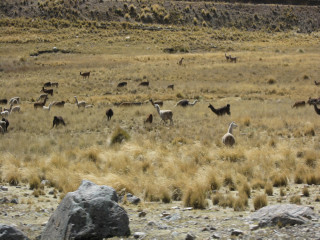
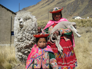
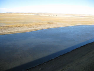
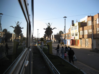
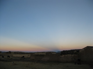
We departed along the outskirts of Cuzco, past mud-brick factories and out into the hilly countryside with its scenes of golden haystacks, crop fields, Inka terraces, llamas, and rural communities. Out on the Altiplano (the "High Plain"), we caught an occasional glimpse of a snow-capped peak, and we stopped at the highest altitude of the entire trip (4313 m) to buy souvenirs and a photo of these mothers and babies. Eventually, the plain opens right out towards Lake Titicaca. We continued through the township of Juliaca and captured some magnificent crepuscular rays at sunset just before we arrived at Puno. |
|
| Saturday 3rd July 2010 ... Lake Titicaca, the Chullpas and a farmhouse ... Return to top | |
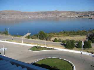
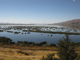
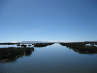
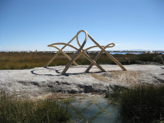
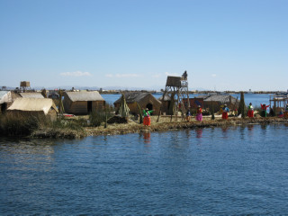
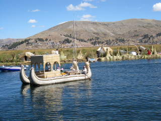
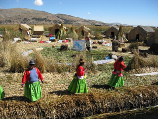
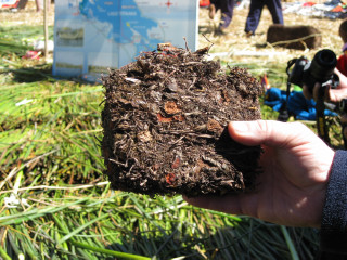
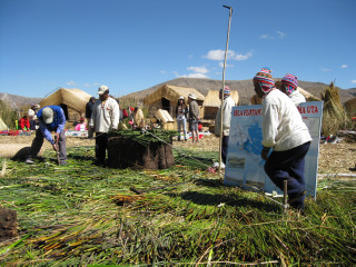
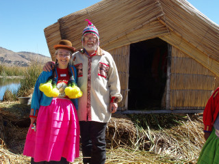
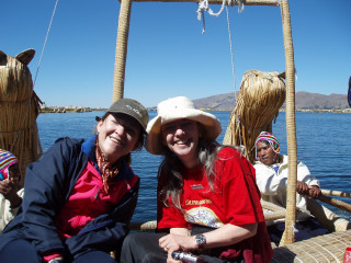
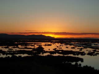
| The reeds on Lake Titicaca are the source of multiple resources. The boats are made from them. The houses are made from them. And the islands are made from them!
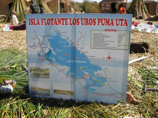
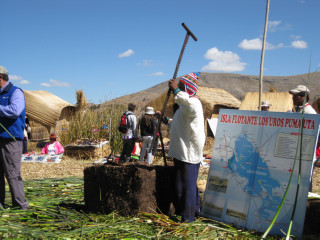
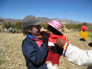
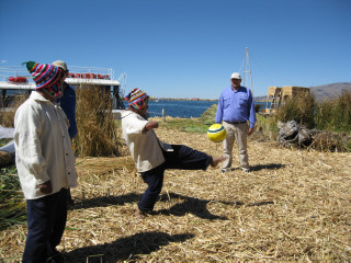
We saw an explanation of how the islands are cut from banks of floating reeds with huge saws, and green reeds are placed on top to form the "ground". The islands are anchored to the floor of the lake with stakes, ropes and weights. The main industry for the inhabitants now is tourism but, with the difficulty of access to schools and health facilities, one wonders how much longer the communities who live here will continue this hard, traditional way of life. One of our party took a gift of a football, which proved very popular! The South Americans are mad about their football!! |
|
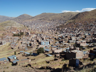
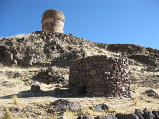
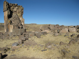
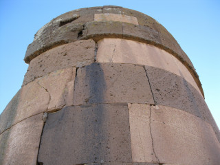
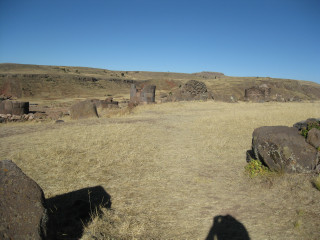
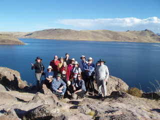
| A little way out of Puno, these Chullpas are the most ancient funeral tombs of the pre-Inkan people. These examples are located above Umayo Lake. |
|
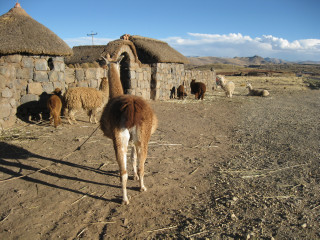
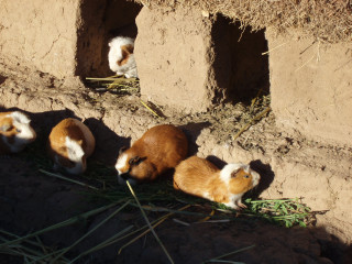
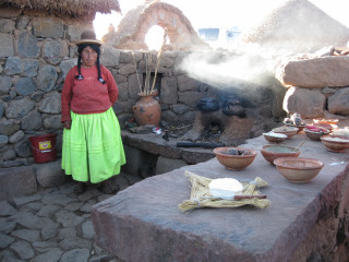
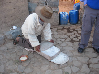
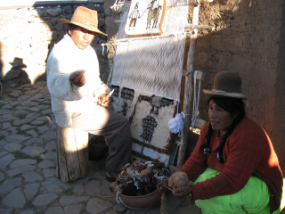
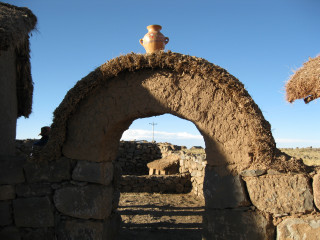
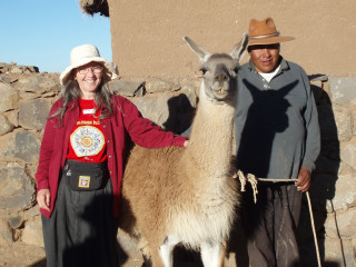
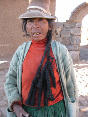
| We visited a farmhouse and observed some traditional flour-making, cooking and rug-making. Charms are placed above the house for good luck. At some point, we learned the difference between llamas, alpacas and vicuñas. This farm seemed to have all three. |
|
| Sunday 4th - Monday 5th July 2010 ... Juliaca, Lima's foreshore, Larco Museum and Huaca Pucllana ... Return to top | |
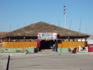
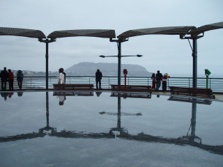
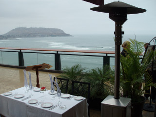
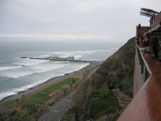
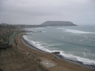
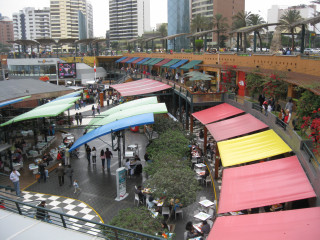
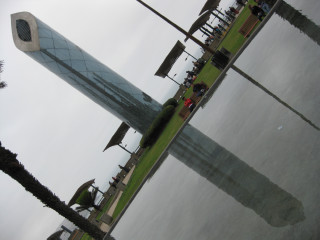
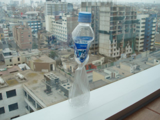
| Juliaca Airport - altitude 3825 m and a bit of time to wander round the coastal shopping centre of Lima. Returning to sea level, we saw the effect of atmospheric pressure on a plastic water bottle. |
|
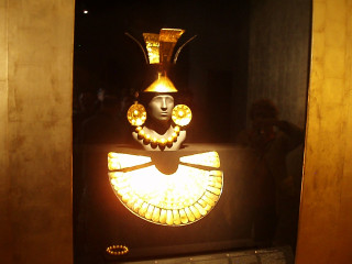
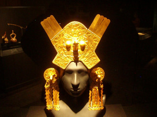
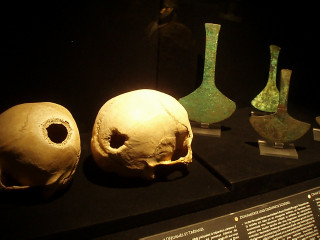
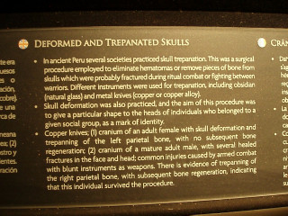
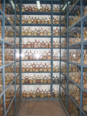
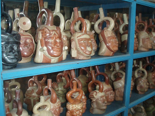
| The Larco Museum in Lima houses, amongst other exhibits, 44,000 ceramic pieces, all belonging to a private collection.
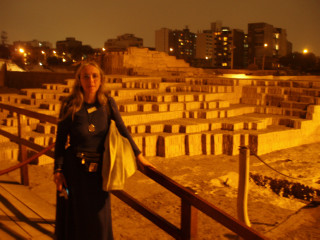
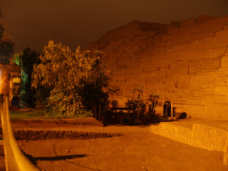
We dined adjacent to the remains of the Huaca Pucllana. Huacas, made from mud brick, were administrative centres of the Moche people from 0 to 800 CE (pre-dating the Quechua and Inka). |
|
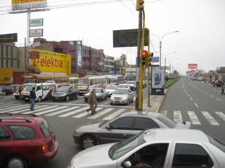
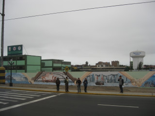
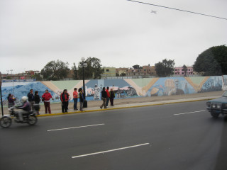
| The trip to Lima airport - more Lima traffic and some international murals. |
|
| Tuesday 6th - Wednesday 7th July 2010 ... Santiago's Pre-Columbian Museum, the square and the ski fields ... Return to top | |
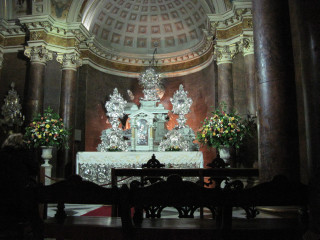
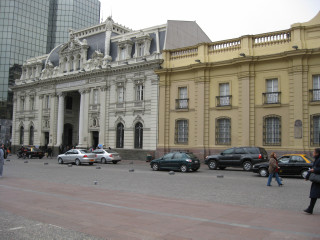
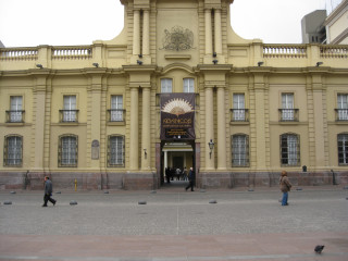
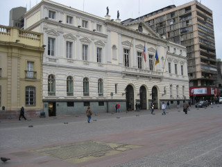
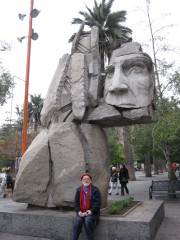
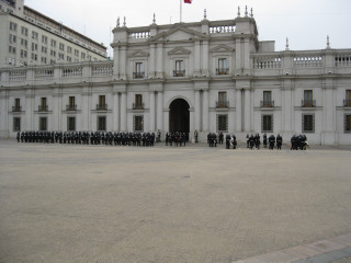
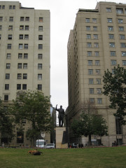
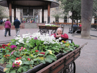
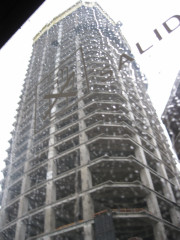
| Scenes from the cathedral, the streets and the square, the Plaza de Armas, Santiago. The strange head statue reminded me of the 1974 sci-fi/fantasy movie "Zardoz". The statue of Eduardo Frei Montalva, Chilean president from 1964 to 1970, is dwarfed by the high-rise towers. The rain late on the Tuesday was not to be scorned, as it provided for fresh snowfalls overnight. |
|
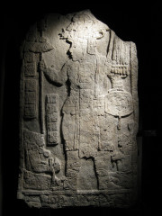
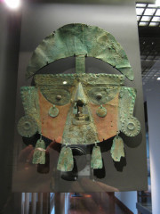
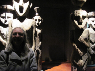
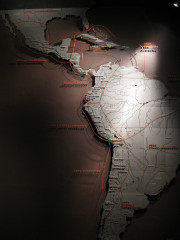
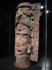
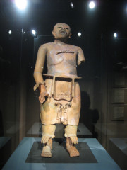
| The Chilean Museum of Pre-Columbian Art |
|
| Some free time allowed us to take a tour of the ski fields. Pretty surreal for us Aussies to be knee-deep in fresh powder snow! From the mountain-top, the smog covering Santiago city is apparent. |
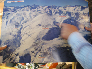
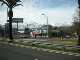
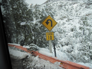
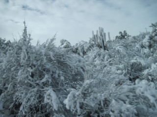
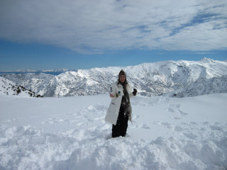
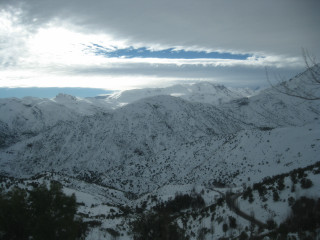
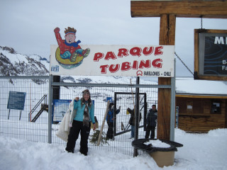
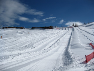
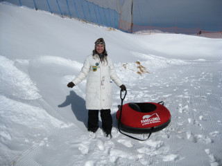
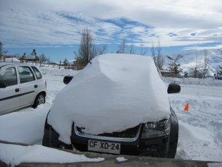
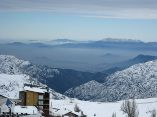
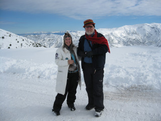
|
| Thursday 8th - Sunday 11th July 2010 ... The Sights of Easter Island ... Return to top | |
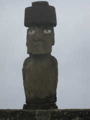
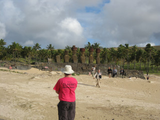
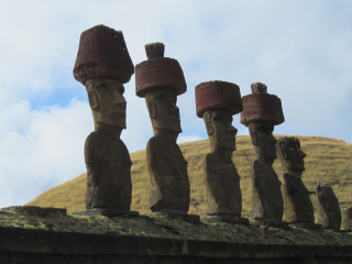
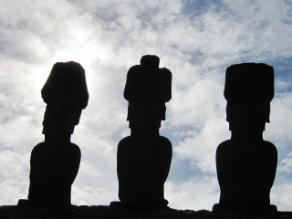
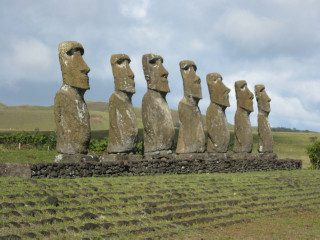
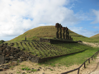
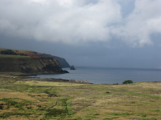
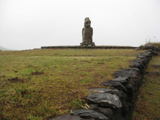
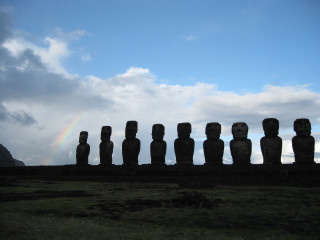
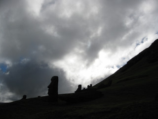
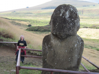
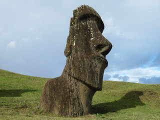
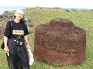
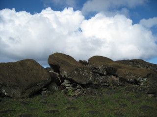
| Easter Island - Isla de Pascua in Spanish - Rapanui in the native language - is noted for its stone head statues, called Moai by the native people. The Moai represent ancestral leaders and were erected to watch over their communities. Most face inland. The only ones facing the sea are looking in the direction of the island, Hiva, from which the first Polynesians came to settle Easter Island. The first king was Hotu Matu'a and first settlement occurred sometime between 300 and 1200 CE. Trees were felled to transport the statues from the quarry (where your hat blows off) to various locations all over the island. When there were no more trees, and stressed by over-population, the communities began warring and many of the Moai were toppled over a 200-year period (17th to 19th centuries). About 20% of the statues were re-erected in recent times up until 1996. The heads are made from tuff, rock that is a mixture of volcanic ash and sand. Eyes (where present) are made from coral. The red top-knots (representing the traditional warrior hair-do, where the hair is painted with pigment) are made from red volcanic scoria obtained from a different quarry. They are all unique, each made to fit its own head with a lug-and-socket join. |
Stands of single and multiple Moai on their Ahu (platforms)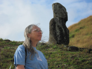
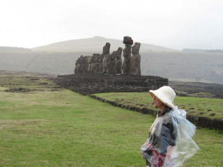
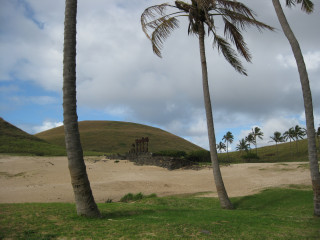
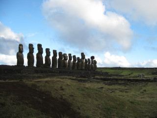
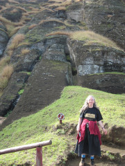
 The quarry, with old and new styles of heads and some still in early stages of being carved out of the solid cliff. 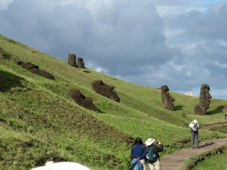
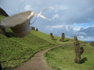
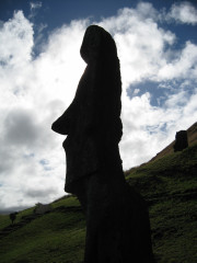
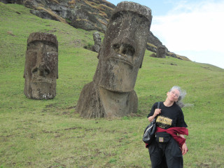
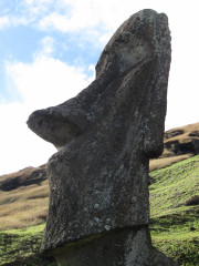
Pukao (top knots), bright eyes and some toppled heads. 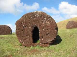

|
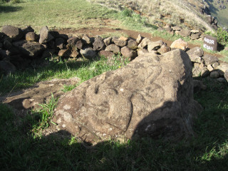
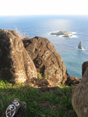
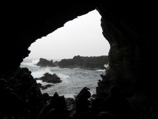
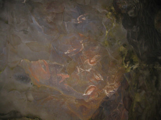
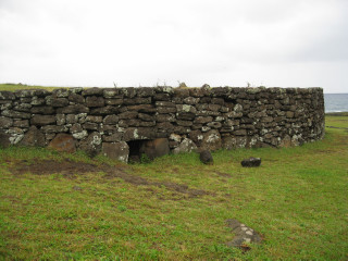
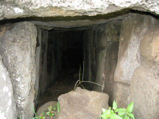
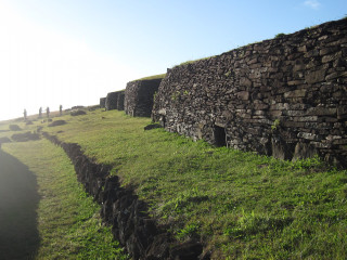
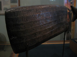
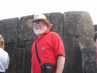
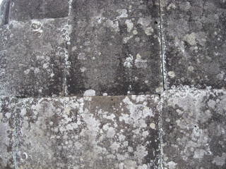
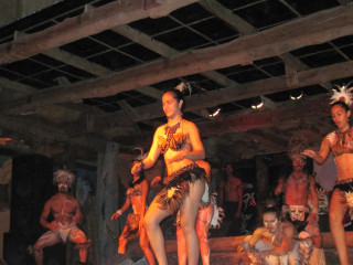
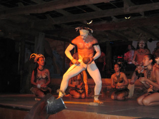
| The island also features petroglyphs, cave paintings, ceremonial stone buildings, writing tablets (which have, to date, defied all attempts at translation) and closely jointed stone walls (which pre-date the Inka of Peru by about 100 years). The Rapanui god, Makemake (creator of humanity, pronounced mah-kay-mah-kay), has given its name to the third-largest dwarf planet in the solar system. Traditional dance is offered for evening entertainment and the fingerpost is there to help you get home if you live at the North Pole or Vladivostok! |

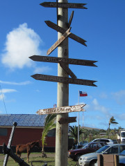
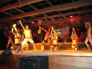
|
| Sunday 11th July 2010 ... The Total Solar Eclipse ... Return to top | |
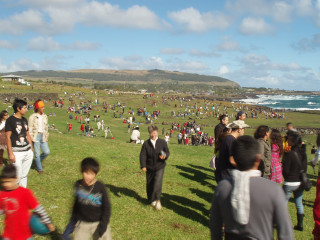
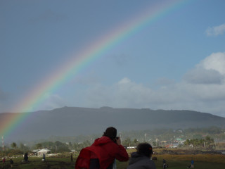
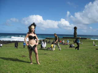
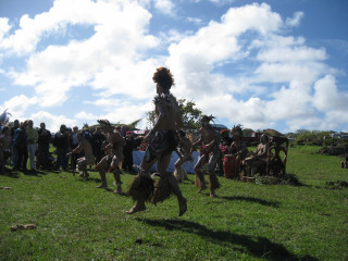
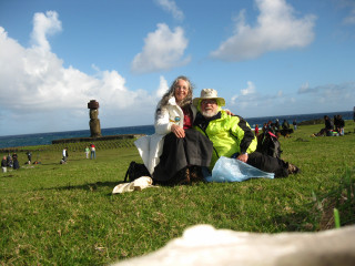
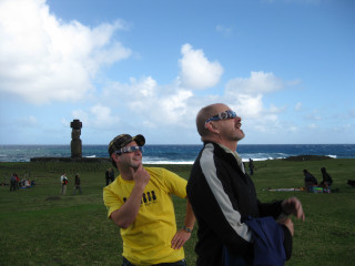
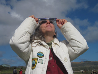
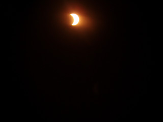
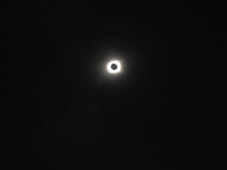
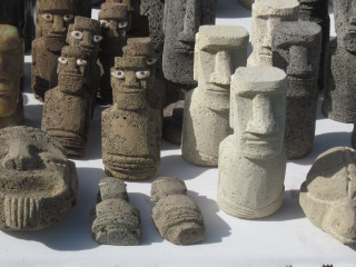
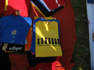
| The total solar eclipse attracted visitors from all over the world. The day was partially cloudy, with showers and rainbows. We found our rock and stayed there! Luckily, there were gaps in the clouds sufficient for observing all of totality. While we watched through the partial phases, we experimented with the usual pinhole projection momento. The local people gathered for the festival with traditional music and dancing and the inevitable souvenir stands. |
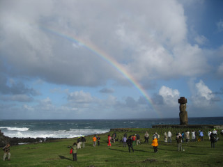

|
| Monday 12th - Tuesday 13th July 2010 ... Santiago, Chile - architecture, zoo, views ... Return to top | |
| With no direct flights from Easter Island to Sydney, we were back in Santiago for our final transit and an opportunity to wander around the city. Some architecture: 1 Golf Fountain; 2 & 3 Comunidad Edificio Atlantis and (right) rear of Intercontental Hotel; 4, 5 (foreground) & 6 Titanium La Portada; 7 Metrogas; 8 Reflection of Ritz Carlton on facade of Colliers International (on left) with Teatro Municipal de Las Condes in the foreground; 9 Edificio Corporativo CTC; 10 Plaza El Bosque hotel & apartments; 11 Apoquindo Corporate Building; 12 Health Services Building with external gardens. |
1 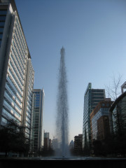 2
2 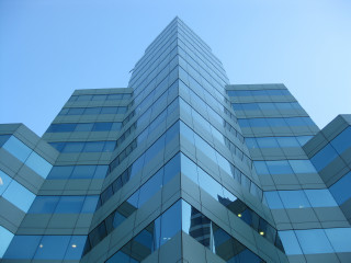 3
3 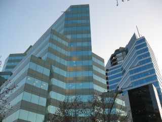 4
4 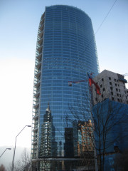 5
5 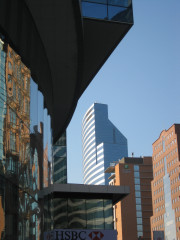 6
6 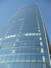 7
7 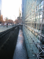 8
8 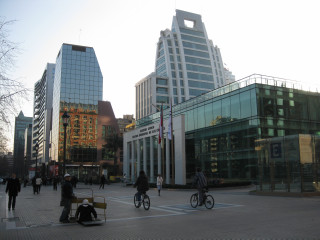 9
9 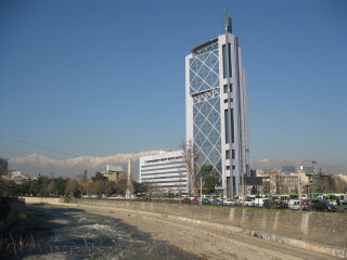 10
10 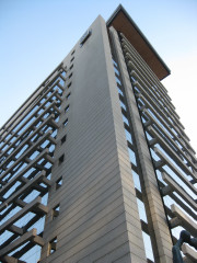 11
11 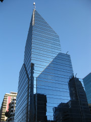 12
12 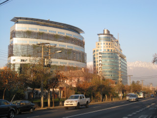
|
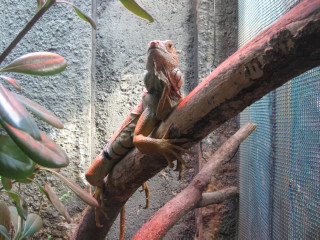
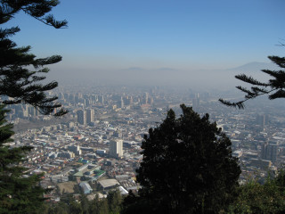
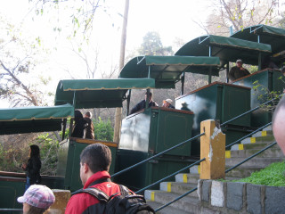
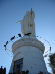
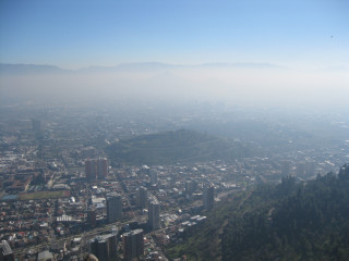
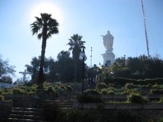
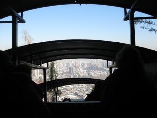
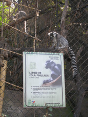
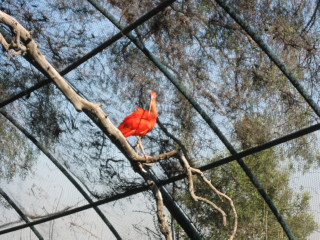
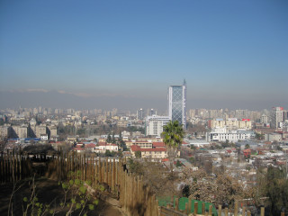
| Other sights included the zoo, the funicular and views from the summit of Cerro San Cristobal (880 m) with its statue of the Virgin Mary.
|
|
| Thanks for visiting! ... Return to top | |